Tips For Paddling Horseshoe Bend
Setting off on an adventure to paddleboard or kayak Horseshoe Bend is a journey of unmatched beauty. However, navigating the logistics of such an excursion requires careful planning and consideration. From renting the right gear to booking backhaul services, each aspect plays a crucial role in ensuring a seamless experience. As locals in the area, we’ve put together a comprehensive guide to help you make the most of your Horseshoe Bend paddling adventure.
Step 1: Schedule a Backhaul Outfitter
You cannot launch kayaks at the Glen Canyon Dam due to Homeland Security so you must get water taxied or Back-Hauled up the river by boat from Lees Ferry Boat Launch. Unfortunately, we currently do not provide this service. You need to make prior arrangements to get back-hauled up the river by a separate company. The Back-Haul companies have no physical location at Lees ferry so advanced scheduling and reservations are required. It is unlikely that you will be able to make same-day reservations and they tend to book up quick in high season.
The backhaul rides are beautiful, fun rides upriver with incredible views of Glen Canyon. The companies that offer this service are Kayak The Colorado, Kayak Horseshoe Bend, Kelly Outfitter’s and Wilderness River Adventures (this company also offers half day rafting tours around Horseshoe Bend). Be sure to check out their websites for scheduling and prices. Most of them offer kayak and paddleboard rentals as well. If they happen to be sold out of rentals we got you covered with our kayak rentals and paddleboard rentals! Please note that we do not deliver gear to Lees Ferry. You will be responsible to transport the gear yourself from our shop location in Page, AZ. We do offer complimentary car racks.
Step 2: Drive to Lees Ferry
Lees Ferry is a 50-minute drive from Page. Your backhaul outfitter will meet you at the docks at Lees Ferry at your scheduled time.
Lees Ferry is 42 miles (61 km) from Page via Hwy 89A West. It is 85 miles (125 km) from the North Rim of the Grand Canyon via Hwy 67. The Lees Ferry Junction and Park Entrance is in Marble Canyon, just west of Navajo Bridge Interpretive Center. A paved road leads 5 miles (8 km) to the launching area. Services available at Lees Ferry include a National Park Service campground and dump station. There is a gas station and post office at Marble Canyon near the park entrance. It is remote so make sure you have everything you need before making your way to Lees Ferry.
Overnight parking and camping are available there. If you don’t have a National Parks Pass, there is a $30 National Park entrance fee per car to access the river. There is also a campground at Lees Ferry which you will pass as you drive to the boat dock. (This is the only campground that requires a fee.) All upriver campgrounds are first-come, with no reservations.
Step 3: Begin Paddling!
You can get dropped off up by the Glen Canyon Dam and paddle the 15 miles back down to Lees Ferry, or if 15 miles sounds too far you can get dropped off lower down the river at the Petroglyphs (9-mile paddle) and still paddle down around Horseshoe Bend. There are no rapids, it’s just a slow-moving current.
WHAT TO SEE:
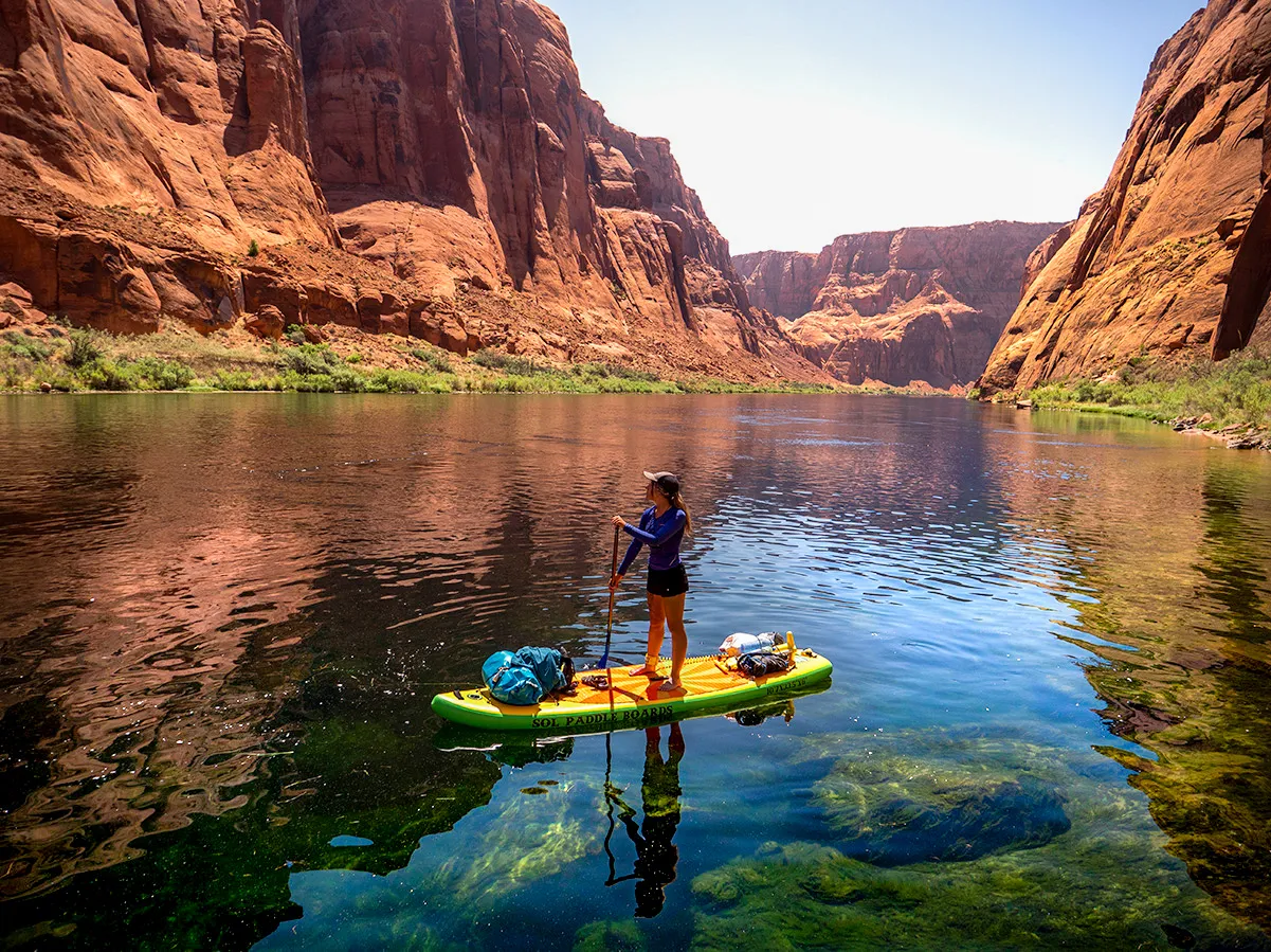
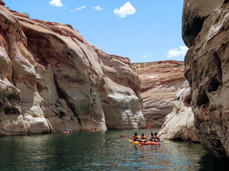
You will find many things to explore while paddleboarding or kayaking Horseshoe Bend. Some highlights include ancient petroglyphs, side canyon hikes, and amazing views. Look for wild horses and Big Horn Sheep on the side of the river!
HOW LONG DOES IT TAKE?:
You can do it in one day, typically about 6-7 hours of paddling, or plan an overnight camping adventure and camp along the river in one of the campsites along the way. Sunsets are beautiful on the river!
While beautiful, the river is extremely cold – about 48°F (9°C) degrees all year long!
CAMPING INFORMATION:
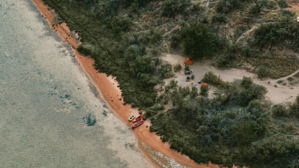
There are 5 campgrounds on the 15 mile stretch of river. Some have names, but most are known for their distance from the boat dock. There is also a campground at Lees Ferry which you will pass as you drive to the boat dock. (This is the only campground that requires a fee.) All upriver campgrounds are first-come, with no reservations.
Starting from the dam and moving downstream toward the Lee’s Ferry boat dock:
Ropes Trail Campground – is on the right at mile 14. This campground gets less use than others downstream but offers more privacy. It does have a steep climb from the river and remember to secure your personal watercraft as winds can happen unexpectedly. It has an outhouse, fire pits, several campsites, and petroglyphs behind the outhouse.
Ferry Swale Campground – is on the left at mile 11. This is a popular campground with an outhouse and fire pits and can accommodate several campsites.
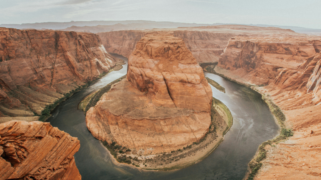
Nine Mile/ Horseshoe Bend Campground – On the right in the middle of Horseshoe Bend. This is another popular campground with good facilities and fire pits. Expect crowds to be looking down on you from the top of Horseshoe Bend, so if looking for privacy, this may not be your best choice.
8 Mile Campground – On the right just downstream from Horseshoe Bend, this site offers more privacy than others. It is higher than the river which requires a brief climb. Be sure to secure your watercraft from the wind. This also has fire pits and an outhouse.
6 Mile Campground – On the right, this is the last campground available and offers fire pits and an outhouse.
Fires are permitted but bring your own wood for your campfire! Weather and water conditions can vary so you will want to check before you head out. Please check here for safety information.
WEATHER INFO:
The Lees Ferry stretch of the Colorado River is a high desert climate, so it can be extremely hot with little shade. It’s normal for summer daytime temps to be over 100 degrees but the water is extremely cold! Be sure to bring a hat and sunscreen and of course, plenty of water and snacks! Click here for the latest weather information.
